The municipality where King Olav fell in 1030, an industrial town on the Trondheimsfjord, with a valley climbing to the Swedish border. Every piece of information is checked at the source.
Information checked on 12 October 2026.
History
Stiklestad
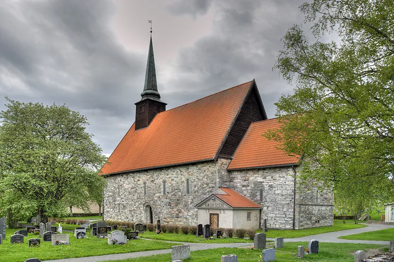
The battlefield where King Olav Haraldsson was killed in 1030 before being recognised as a saint. The church, built around 1180 where he is said to have fallen, stands beside the national cultural centre, open all year, an open-air museum of over 30 buildings and the reconstructed medieval farm of Stiklastadir. The "Spelet om Heilag Olav", staged outdoors since 1954, returns every late July for four evenings, up to Olsok (29 July).
This 580 km trail links Selånger, on Sweden's east coast, with Nidaros Cathedral in Trondheim in 29 stages. It partly follows the route taken by Olav Haraldsson in 1030 and passes through Verdal and Stiklestad.
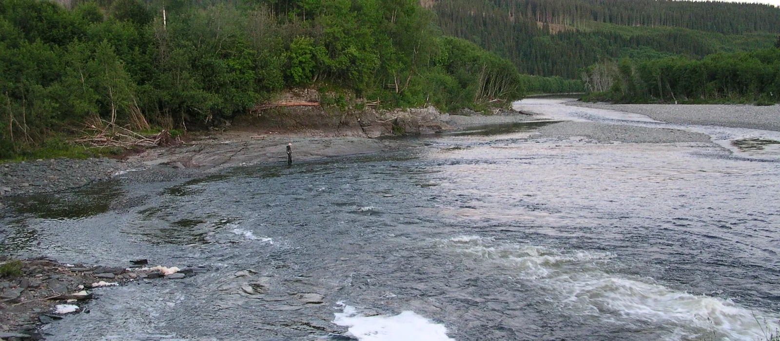
On the night of 18–19 May 1893, 55 million m³ of clay slid along the Verdalselva river over 14.5 km²: 116 dead and 105 farms destroyed. A memorial to the victims and a viewpoint over the area stand at Lysthaugen.
Stene Redoubt
A redoubt built between 1611 and 1718 in the Inndalen valley to guard the route to Sweden. Taken on 12 September 1718 by General Armfeldt's Swedish army and then burned, it has been partly reconstructed; above it are the Bergylen gun positions (1911). Free access.
The Malså copper mines
The largest and longest-running of Verdal's mines, worked in periods from 1865 to 1918, with up to 100 workers living on site. The foundations of some twenty houses, water wheels, rails and several adits remain.
A municipal recreation area by the fjord (tables, toilets, barbecues) with bird towers: over 200 bird species have been seen here. Opposite, the Ørin reserve (1993) protects the Verdalselva delta, a stopover for migrating birds; a 3.9 km riverside walk follows the river.
The Karl Johan road
Ordered in 1821 by King Charles John and completed in 1835, this carriage road crossed the Skalstufjellet towards Sweden. Its 17.5 protected kilometres, with their stone arch bridges, run alongside county road 72 and can be walked or cycled.
Blåfjella-Skjækerfjella National Park
Created in 2004, this 1,924 km² park, Låarte-Skæhkere in South Sámi, stretches across Verdal, Steinkjer, Snåsa, Grong and Lierne: mountains, lakes and old-growth forest, still grazed by Sámi herders' reindeer.
In the town centre, Monday to Friday 9 am–3 pm. Verdal station is on the Nordland Line; Trondheim Airport Værnes is some fifty kilometres to the south.
Indicative distances and times from the tourist office; detailed routes on ut.no and visitinnherred.com. Right to roam (allemannsretten): walk freely, don't camp within 150 m of a house, close the gates.
Verdal trails
Easy: Bergugleberget (2.8 km, valley view and old cannons, pushchair-friendly), the riverside promenade from Tronestangen (7.9 km return), the Malså mines (3.7 km), and the Hallemsmarka (80 mounds) and Hegstadmarka grave fields from Stiklestad. Longer: Gamle Kongeveg, the ancient king's road (6.8 km), and Høgfjellstøtta via the Karl Johan road, 1.5 km from Sweden (14.4 km). Fitness stairs at Vuku (256 steps) and on the promenade.
Verdal's second-highest summit, popular in summer and winter: start at Vaterholmen on the paved Karl Johan road, then follow red markings; about 20 km return, wet ground and river crossings, for fit walkers.
The municipality tests the water in summer and posts advice on its website: check it before swimming, especially after heavy rain. Beaches are not lifeguarded.
Ørin, Trones, Havfrua, Leksdalsvatnet…
The shallow Ørin–Ørmelen beach and Trones beach on the fjord, Havfrua beyond the industrial area, Rinnleiret on the Levanger boundary; in fresh water, Lake Leksdalsvatnet with its sandy beaches, Veresvatnet, Innsvatnet and several spots on the Verdalselva.